
Map Data
Parish Online contains a wealth of map datasets to help you with your council work
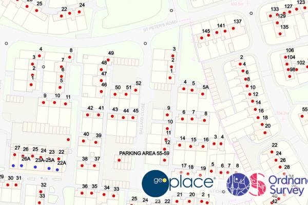
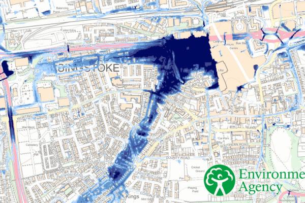
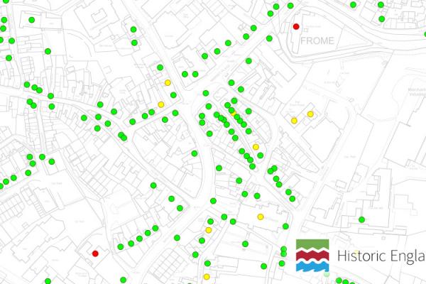
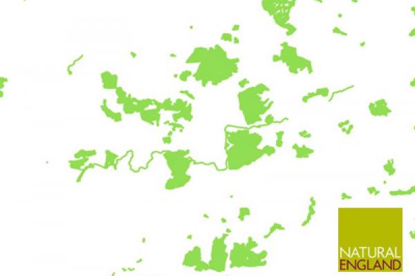
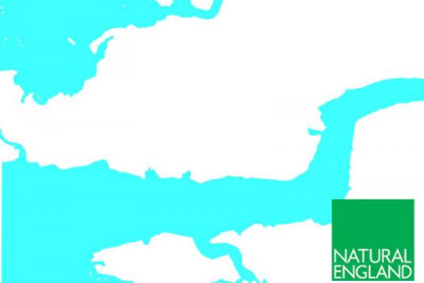
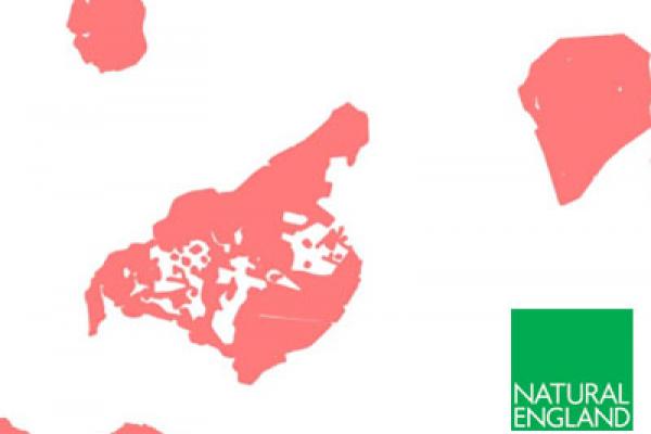
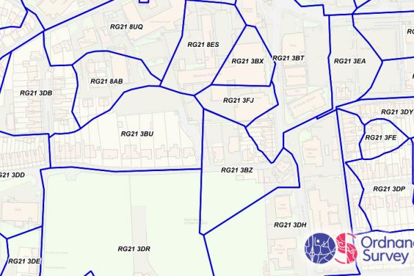
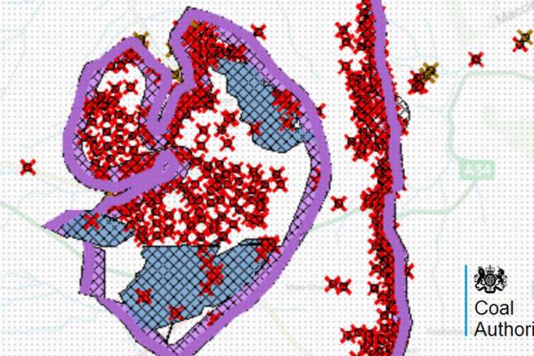
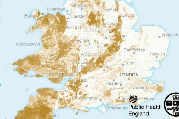
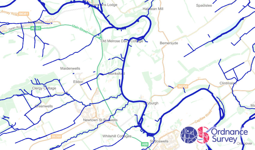
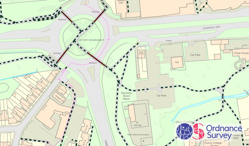
Data from Government Agencies
The Parish Online team keep a range of datasets from Government agencies and 3rd parties up-to-date, so you have all information in one place.
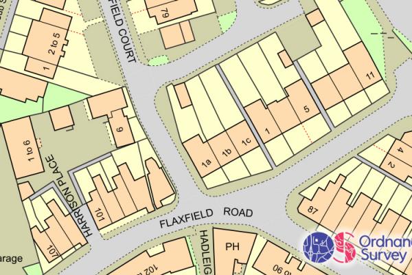
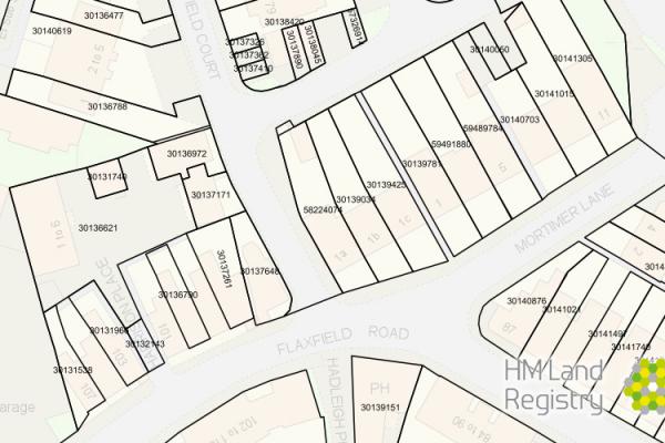
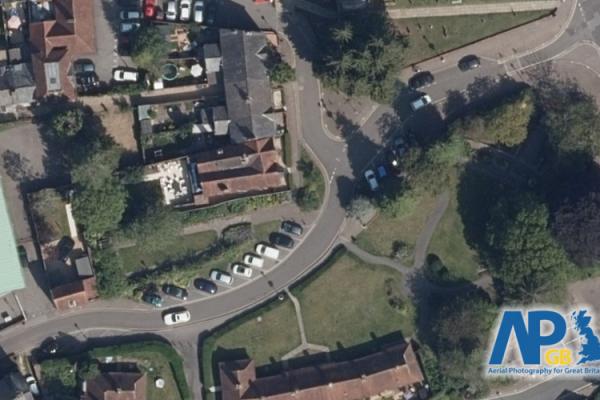
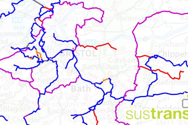
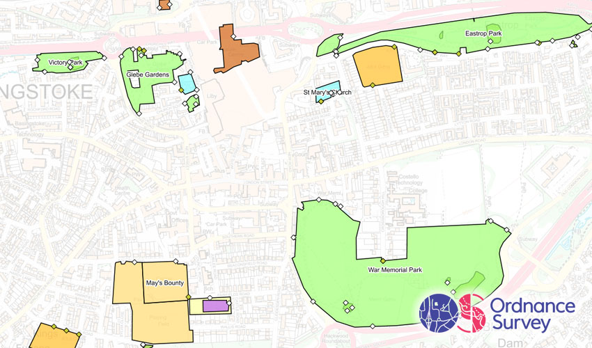
Data provided by Local Authorities
We can include map data from Local Authorities if they are willing and able to share it. This makes Parish Online even more useful to local councils.
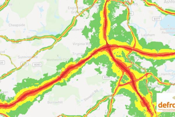
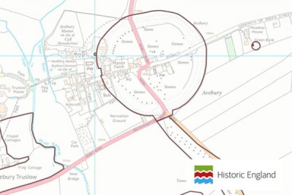
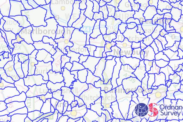
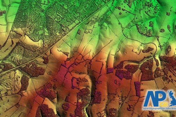
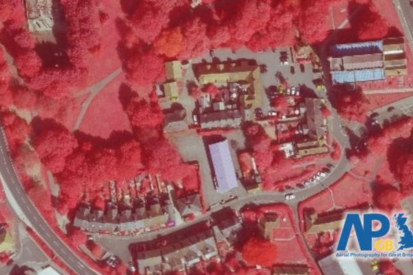
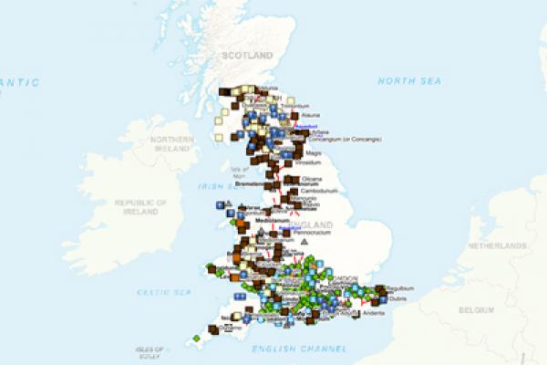
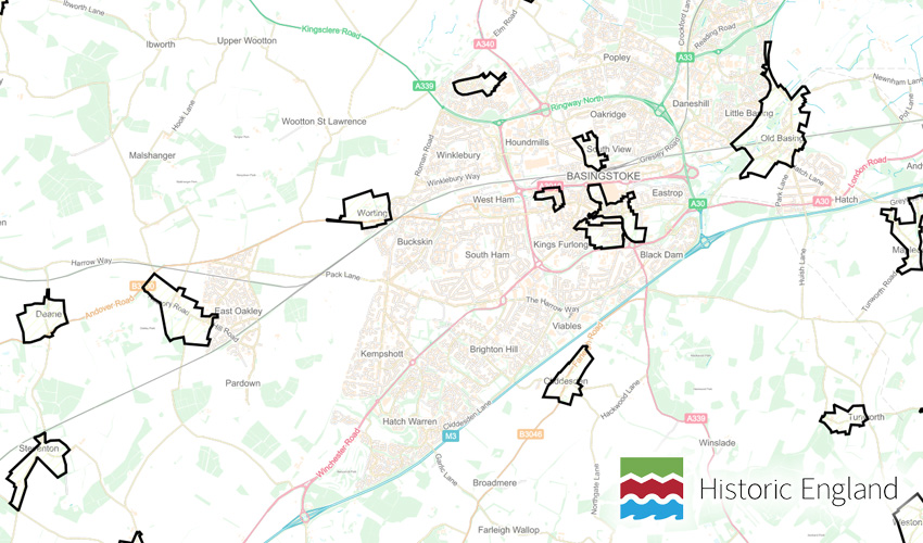
Collaborative National Mapping Projects
We work on projects that bring together Local Councils and specialist organisations to help build better map datasets using Parish Online.
Browse some of the key map datasets included in Parish Online:


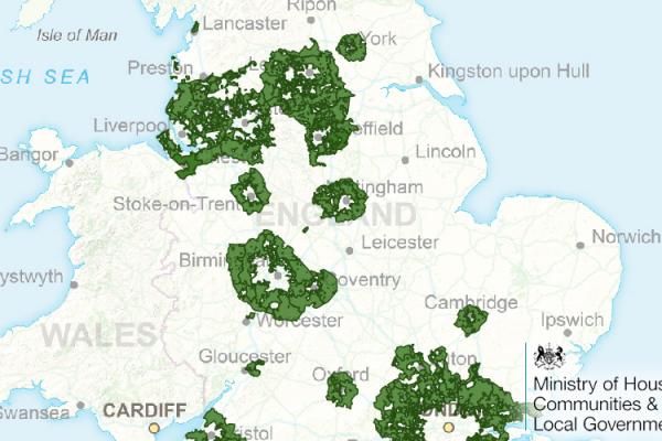
Data provided by Local Authorities:
Arun District Council
- Built-up Area boundaries
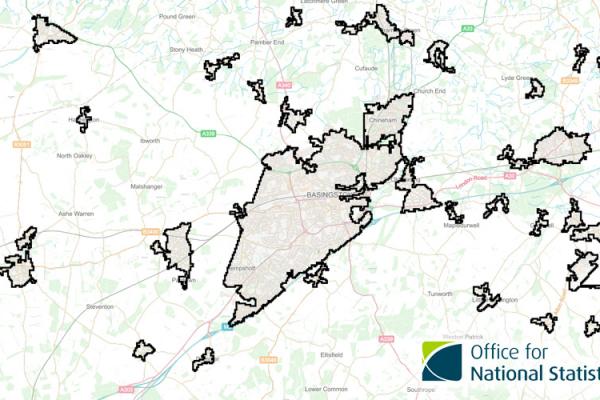
Basingstoke and Deane Borough Council
Bath and North East Somerset Council
Blaby District Council
Bolsover District Council
Bournemouth, Christchurch and Poole Council
Bradford Council
Buckinghamshire County Council
Cambridgeshire County Council
Chichester District Council
Cornwall Council
Cumbria County Council
Dacorum Borough Council
Dartford Borough Council
Derbyshire County Council
Devon County Council
East Sussex County Council
Daventry District Council
Essex County Council
Gloucestershire County Council
Hampshire County Council
Guildford Borough Council
Hinckley and Bosworth Borough Council
Dorset Council
Lake District National Park Authority
Lichfield District Council
Hertfordshire County Council
Mendip District Council
Mid Devon District Council
Mid Sussex District Council
Newcastle under Lyme Borough Council
New Forest District Council
North Devon District Council
Norfolk County Council
North Hertfordshire District Council
Northumberland County Council
North East Derbyshire District Council
Nottinghamshire County Council
Rugby Borough Council
Shropshire Council
Oxfordshire County Council
Staffordshire County Council
Stratford-upon-Avon District Council
South Oxfordshire District Council
Somerset County Council
Somerset Heritage
Suffolk County Council
South Somerset District Council
South Cambridgeshire District Council
Surrey Heath Borough Council
Torridge District Council
Uttlesford District Council
West Berkshire Council
Wealden District Council
Warwickshire County Council
Wiltshire Council
West Sussex County Council
Swale Borough Council
West Northamptonshire Council
Wokingham Borough Council
Worcestershire County Council
It's (usually) easy to get data from Local Authorities into Parish Online
1. Decide what datasets you need
Make a list of the datasets that your District, County or Borough hold and email them to ask for the 'GIS data' to share with Parish Online.
We say it's 'usually' easy, but in some cases you might find that your principle authority don't have the resources, staff, skills or inclination to share mapping information. Persist! We can give them all the tools they need to do it easily.
We say it's 'usually' easy, but in some cases you might find that your principle authority don't have the resources, staff, skills or inclination to share mapping information. Persist! We can give them all the tools they need to do it easily.
2. Pass those files over to us
Send them in a support ticket and we'll load them up. They'll need to cover the whole of the District or County, not just your parish area.
If you put us in touch with the person at the principle authority, we can give them a facility to update the information if a new version is available.
If you put us in touch with the person at the principle authority, we can give them a facility to update the information if a new version is available.
3. Log into your Parish Online account
Simply log into Parish Online and the new data layers will be in the Layer Control ready for you to switch on.
If you have any examples of how getting extra datasets from the principle authority has helped you, please let us know. It's great to hear and will persuade other authorities to do the same.
If you have any examples of how getting extra datasets from the principle authority has helped you, please let us know. It's great to hear and will persuade other authorities to do the same.
Trial now for a
30day free trial
- Try the fully-featured Parish Online Mapping and keep your data if you carry on with a full subscription.
- Once your trial has ended you have the option to switch to a full subscription or even take advantage of a Clear-funded subscription.
Subscribe now for a
10% Discount
- For new subscribers to Parish Online Mapping who want to get started straight away with no trial period.
- We'll give you this discount every year providing you keep a continuous subscription with Parish Online Mapping.
Free with Clear Councils Insurance
Free for 1 year
- for councils who are new to Clear Councils Insurance AND new to Parish Online Mapping.
- Existing customers can still get discounted rates on our mapping subscriptions.
- Don't worry if you already have a policy with another provider, you can get Parish Online Mapping if you commit to switching when your renewal is due.
- Terms and Conditions apply, contact Clear for details.