
OS MasterMap Water Network
What is it?
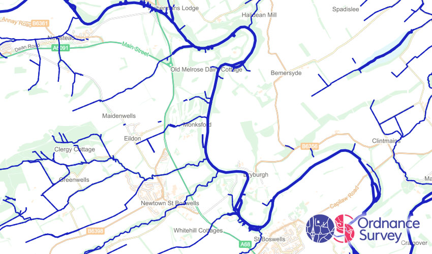
This is a representation of waterways across Great Britain. It contains water flow directions and watercourse names.
Where does it come from?
Ordnance Survey
How often is it updated?
Typically every 12 months.
What area does it cover?
Great Britain
How might you use it?
This dataset might be used for:
- Visualising flow direction and catchments
- Finding out water course names
- Getting accurate watercourse lengths
Data Licence
Public Sector Geospatial Agreement (PSGA)
Back to Category
MORE INFORMATION