
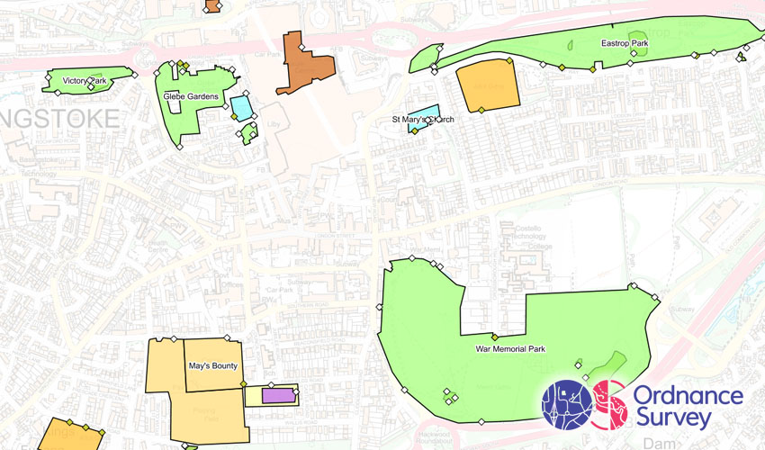
OS Greenspaces
What is it?
This is a dataset of greenspaces, and includes the following types:
- Allotments or Community Growing Spaces
- Bowling Green
- Cemetery
- Golf Course
- Other Sports Facility
- Playing Field
- Play Space
- Public Park or Garden
- Religious Grounds
- Tennis Court
The dataset consists of two separate layers:
- Access Points. This denotes where there is pedestrian, vehicle or both forms of entry/exit.
- Sites. This is the area the space covers.
Where does it come from?
Ordnance Survey
How often is it updated?
Typically every 12 months.
What area does it cover?
Great Britain
How might you use it?
This dataset might be used for:
- Viewing 'greenspace' amenities in your area
- Filtering to show specific types to analyse the distribution of facilities
- Copying the shapes into your own layers, e.g. allotment sites into the National Allotment layer
- Considering the provision of more greenspace sites.
Data Licence
OS OpenData
Back to Category
MORE INFORMATION