
WELCOME
Empowering Local Councils with great technology
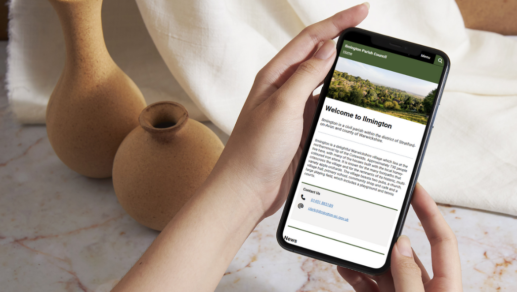
Our cloud services help Local Councils become more resilient, efficient and professional. We serve town, community and parish councils in England, Wales and Scotland.
Our Purpose
Parish Online was started in 2008 to address the technology divide between local councils and their higher tier counterparts.
We set out using our IT and geospatial expertise to create software that meets local council needs.
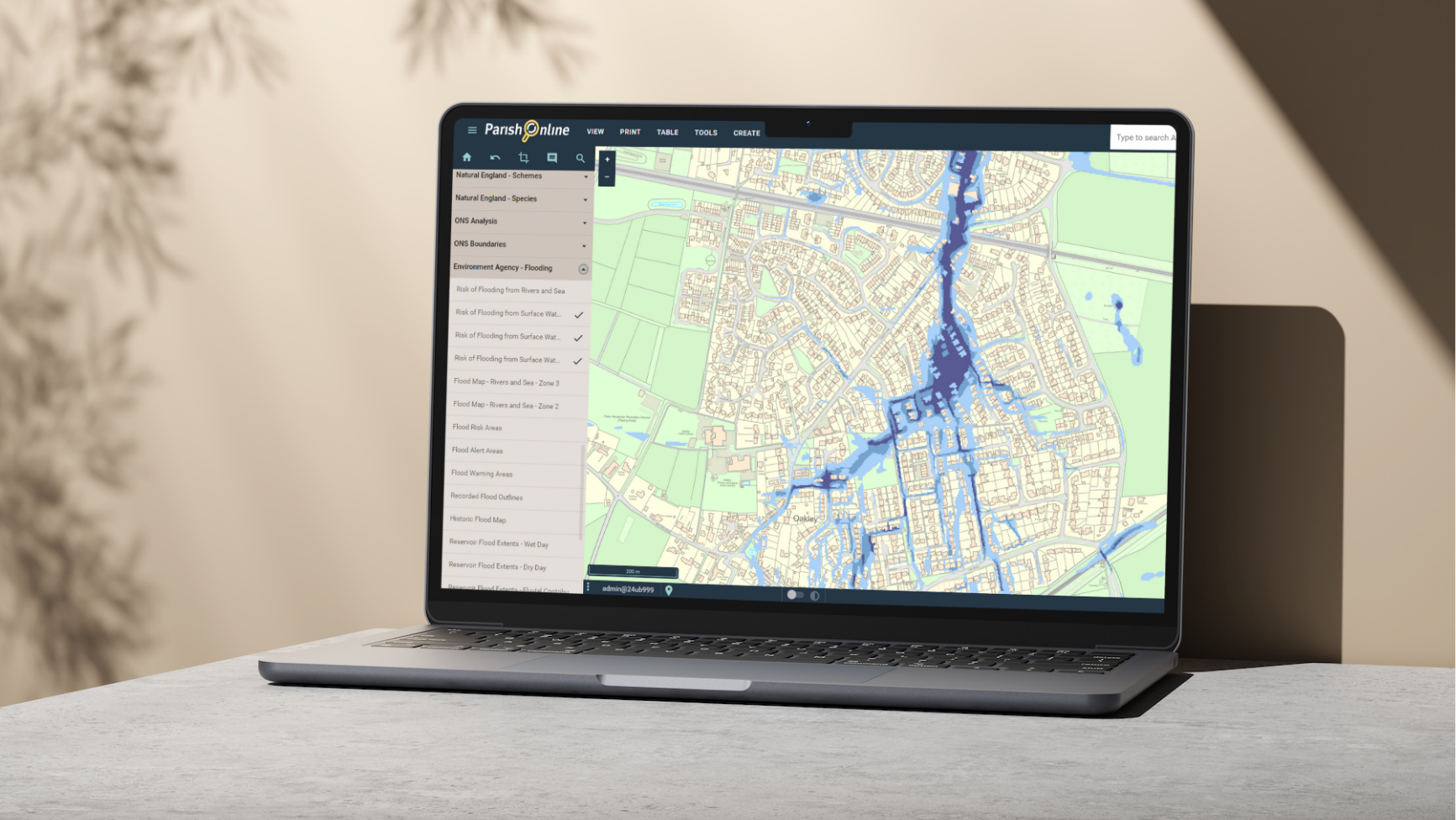
Our Services
We build technology services that are designed for the precise needs of town, parish and community councils.
They are constantly evolving to ensure councils are using the latest technology in an easy and intuitive way.
Our Resilience
Parish Online is deeply resilient, both from a technology and financial standpoint.
We know how to keep cloud services running flawlessly, we pick suppliers carefully, and we defer income to ensure the lights always stay on.
Our Social Value
Parish Online operates as a not-for-profit social enterprise.
All subscription revenue is reinvested into advancing technology, supporting local council membership organisations, and carrying out important climate-conscious projects.
“Digital mapping can enhance the effectiveness of service delivery, making local councils more efficient and help them plan for the future.”
— Jonathan Owen, Chief Executive, NALC
Our Support
We pride ourselves on free, competent, human, best-in-class support for our services.
We have a comprehensive Knowledge Base, rapid email support and phone line to make sure you get the most out of our services.


Latest News
-
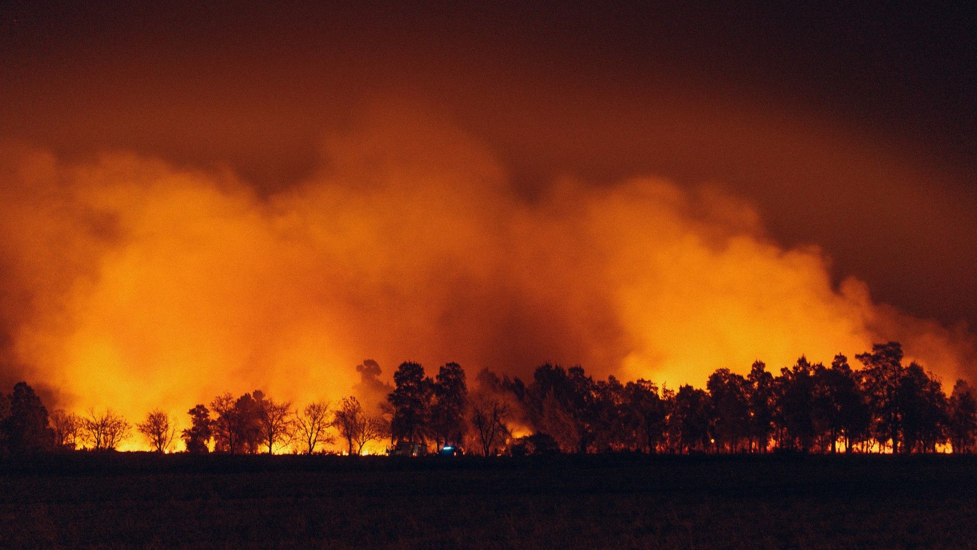
NASA fire detection data now available in Parish Online and XMAP
NASA’s near real-time fire detection data is now available in Parish Online and XMAP. As wildfires continue to affect communities…
-

Successful launch of Parish Online Wellbeing helping clerks and councillors cope under pressure
Parish Online Wellbeing, a new coaching service for clerks and councillors was launched in May 2026. It allows clerks to…
-
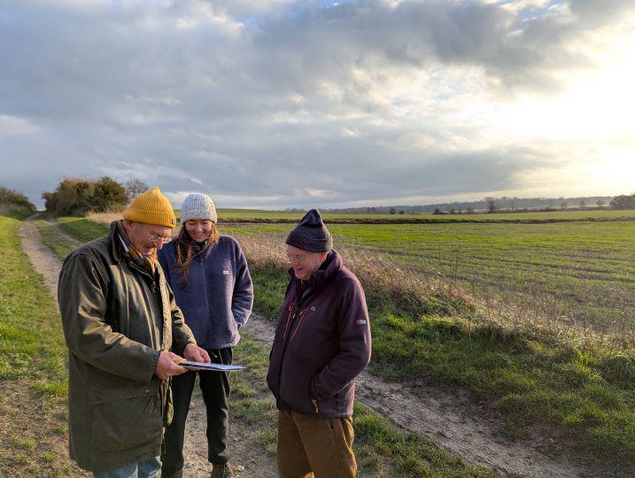
Parish Online supports Nature Recovery LNRS project in Cambridgeshire
The Parish Online team have been working closely with the Community Nature team at Cambridgeshire County Council to make mapping…