
OS MasterMap Highways Network - Paths
What is it?
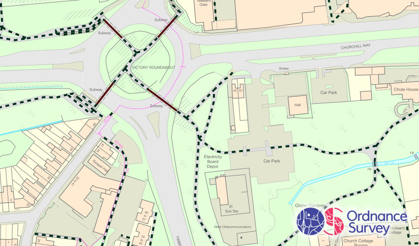
A dataset of paths. It's designed for routing analysis but can also be used as a simple visualisation.
Where does it come from?
Ordnance Survey
How often is it updated?
Typically every 12 months.
What area does it cover?
Great Britain
How might you use it?
This dataset might be used for:
- Showing where there are issues with the path network
- Helps with planning for linking up walkable neighbourhoods
- Checking lengths of path
- Planning out gritting works
Data Licence
Public Sector Geospatial Agreement (PSGA)
FAQs
Why doesn't it show all the paths?
This dataset shows paths where they are dedicated pathways and not part of a larger transport network, such as a road. So you won't see the paths alongside roads marked in this dataset.
Back to Category
MORE INFORMATION