
Office of National Statistics
What is it?
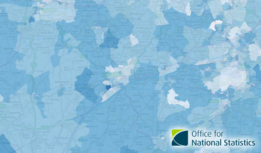
This is a collection of datasets from the Office of National Statistics. It includes statistical boundaries, as well as datasets showing specific analyses.
Current datasets include:
Analysis Layers
- Median Age Group by Lower Super Output Area (LSOA 2011)
- Fuel Poverty (Dec 2020) by Lower Super Output Area (LSOA 2011)
Boundary Layers
- Built-up Area Boundaries
- Middle Layer Super Output Areas (2011)
- Lower Super Output Areas (2011)
- Output Areas (2011)
Where does it come from?
Office for National Statistics (ONS)
How often is it updated?
Varied, depending on dataset, but most are static, one-off datasets.
What area does it cover?
England and Wales
How might you use it?
This dataset might be used for:
- Looking at demographic information in your local area
Data Licence
Open Government Licence V3
Back to Category
MORE INFORMATION