
Aerial Photography
What is it?
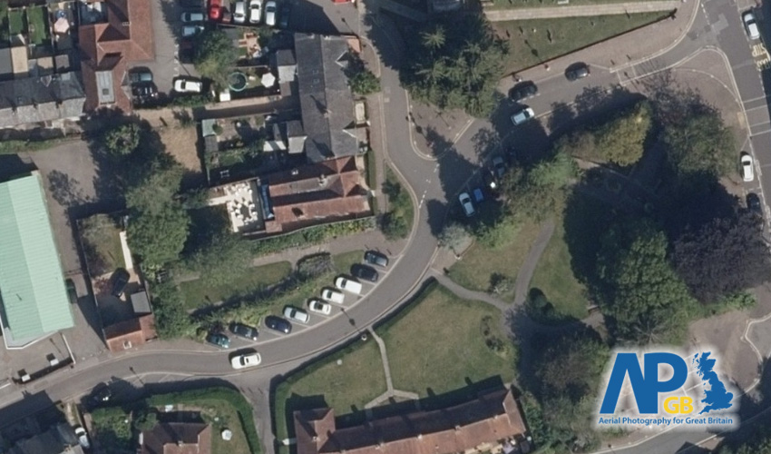
This dataset shows a blended patchwork of aerial photography for the whole of Great Britain.
Where does it come from?
the Aerial Photography for Great Britain (APGB) agreement. The data for this agreement is currently captured by a consortium of aerial survey providers (Bluesky and Getmapping).
How often is it updated?
The datasets typically recaptures the whole of GB over a 5 year cycle, so imagery in your area could be between 6 months and 5 years old.
What area does it cover?
Great Britain
How might you use it?
This datasets is great for looking at your area as a photographic record instead of a map interpretation (such as an Ordnance Survey map). It can be used to see the position of trees, land cover and land usage, and even roof types of buildings.
Data Licence
This data is provided under the APGB Member Licence, so to see this data in Parish Online you'll need to register for this agreement (there's a form in the Admin Panel, or upon sign up).
Technical Blurb
The aerial photography dataset actually comprises of two layers:
- Full Coverage at 25cm resolution. 100% aerial photography coverage for the whole of GB.
- Enhanced Coverage at 12.5cm resolution. Higher resolution aerial photography available for some areas.

When selecting aerial photography, it's best to select the 12.5cm dataset first to see if there's higher resolution imagery in your area. If there is, great, if not then you can select the 'full coverage' instead.
If you zoom too far out of the higher resolution dataset then your map view may go to a rather fetching teal colour. This means there's no data available at that scale, so zoom back in and you'll see imagery again.

Back to Category
MORE INFORMATION