
Built-up Area Boundaries
What is it?
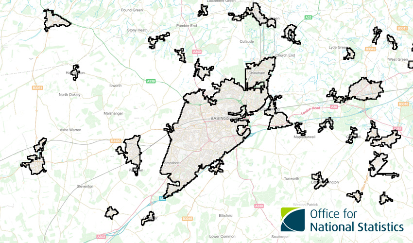
This is a map layer showing calculated built-up areas based on information gathered in the 2011 Census.
Where does it come from?
Office for National Statistics (ONS)
How often is it updated?
Never, it's a one-off.
What area does it cover?
England and Wales
How might you use it?
This dataset might be used for:
- Showing where there are built-up areas
- Seeing the name of the built-up area as defined by ONS
Data Licence
Open Government Licence V3
Back to Category
MORE INFORMATION