
OS MasterMap
What is it?
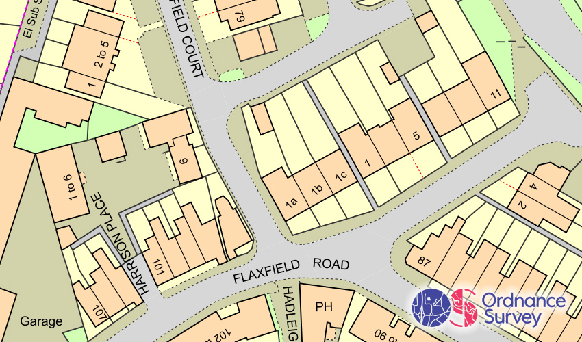
OS MasterMap Topography Layer® is the most detailed and accurate view of Great Britain's landscape – from roads to fields, to buildings and trees, fences, paths and more. In Parish Online it's part of a 'stack' of base mapping layers that means whenever the map is panned or zoomed, there's always an appropriate base map available.
Where does it come from?
Ordnance Survey
How often is it updated?
Every 6 weeks.
Let's look at the journey for that new information going from the ground to your screen:
- Something changes in the real-world. This could be a whole new housing estate, a new roundabout is installed or a building is converted into a semi-detached. At this point, Ordnance Survey do not know about it.
- Ordnance Survey conduct aerial and ground surveys to update their maps. These are pre-planned and usually cover a whole town in one go. They publicise what their plans are on this page.
- Once a new town has been captured by their aerial and ground surveyors, the information goes to their production team in Southampton. They then process the information to look for changes and then update their master copy of the database that makes up the MasterMap Topography Layer.
- Any changes to the map then go through a Quality Check process and then get made ready to be delivered to to their distributors, such as ourselves, in 6 weekly updates.
- When a new 6 weekly update is released by Ordnance Survey, we then take that new information and apply it to our own copy of the data. This can take a few days.
- Those updates are then published into our map feed and it'll be view-able by you in your account.
What area does it cover?
Great Britain
How might you use it?
This layer is switched on by default in Parish Online and gives you an accurate background map to help you orient yourself on the map. It can also be used to get information on the locations of buildings, field boundaries, paths and infrastructure.
Data Licence
Public Sector Geospatial Agreement (PSGA).
Read more about the PSGA here: https://www.ordnancesurvey.co.uk/business-government/licensing-agreements/psga-registration
Technical Blurb
OS MasterMap has three styling options to give you the look-and-feel you require for doing your work in Parish Online.
FAQs
Why hasn't my area been updated?
Even though there is a regular and constant stream of updates being made, you will not see them immediately. Delays include:
- Ordnance Survey might not have your town or villages scheduled for an update anytime soon,
- The update might be slight and hasn't been picked up by the surveyors,
- The processing for changes takes some time, and/or,
- The updates take a few days to apply to our servers.
Back to Category
MORE INFORMATION