
Wellow map out their Neighbourhood Plan
Overview
Wellow Parish Council in Hampshire is developing a Neighbourhood Plan. Parish Online is being used by the team working on the Plan to provide essential mapping support.
Challenge
Neighbourhood planning is about developing a shared vision within a local community and influencing its future planning. Through a Neighbourhood Plan, communities are able to say where they want new homes or businesses to be built and what those new developments should look like.
A good understanding of the geography of the Neighbourhood Plan area is essential. Wellow Parish has an area of some 15.7 km2 (6 ml2) and a population of about 3,300. The land use is a complex mosaic of concentrated and scattered settlement, agricultural land, common land, woodland and light industrial development. Being within easy access of Southampton and the motorway network and also on the edge of the New Forest National Park. This means that there is continual pressure for more housing development which could threaten its rural character if not carefully planned and controlled.
Solution
To understand the geography of Wellow Parish and express it in a readily assimilable form, it was essential to use not only existing maps but to be able to develop their own. Having understood the current geography, they then needed to identify where any future developments might take place. Not only this, how to access these maps, display them and then share them with their team, the Parish Council and the community.
Firstly, to obtain existing mapping, they signed up to the Public Sector Geospatial Agreement (PSGA) which meant that the Parish could obtain the complete range Ordnance Survey topographic mapping free of charge. The OS mapping is all in digital form and accessible online. However, the PSMA does not include any means of displaying the data, for this some sort of computer-based mapping tool is required. They looked at a number of options but quickly realised that Parish Online provided them with a tool tailored to the needs of the Parish with all the Ordnance Survey mapping included as standard.
Using Parish Online they have been able to access Ordnance Survey mapping as well as a whole range of other map data from, for example, the Environmental Agency, English Heritage, Land Registry and Defra (MAGIC), all in one map view. More recently, they have also been able to access aerial imagery through the Aerial Photography Great Britain (APGB) agreement. This photography is conformant with the OS mapping so that they can be easily combined. Further, they have been able to create a larger number of other map layers for their specific purposes using the map creation tools in Parish Online.

Benefits
Les Rackham, Neighbourhood Planning Team to Wellow Parish Council explains the benefits:
“Parish Online is very straightforward to use and familiarity with the tool is soon gained by team members. There is good help and support. By having digital maps available to the team, this has eliminated the need to produce endless paper maps, meaning time and money has been saved.
The team’s understanding of the geography of the Parish and has been of considerable benefit in looking at and analysing potential sites. Also, sharing of maps between members of the Neighbourhood Plan team is straightforward since this is a web mapping tool. Access can be controlled through a simple administration tool to limit this to the team or Parish Council members.
Parish Online enables us to access and display the most up to date PSGA and APGB data online without the need to download and manage the data ourselves. We can readily create and output maps of the Parish either using a single layer or multiple layers where a bespoke map is required. By being able to output maps, we can better communicate the Neighbourhood Plan in residents’ surveys and community events.”
About Wellow Parish Council
Wellow is a civil parish in Hampshire falling within the Test Valley District Council area. The southern quarter of the Parish lies within the New Forest National Park. Florence Nightingale’s family lived in the Parish and she is buried in churchyard of the thirteenth century parish church.
Wellow have an active parish council which works hard to preserve the rural character and appearance of the Parish whilst supporting the community and providing a range of amenities. They provide strong support to the Neighbourhood Plan team which is made up of volunteers from the within the Parish. The neighbourhood planning process is well advanced having created an evidence base, conducted a Parish wide survey of the residents, a survey of local businesses and a housing needs survey.
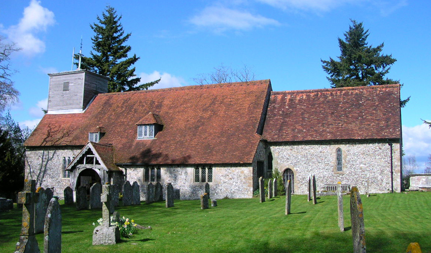
Title picture Parish church of St Margaret of Antioch (https://commons.wikimedia.org/wiki/File:Wellow_Church.JPG) Charles Drakew. All other pictures sent to us by Wellow Parish Council.
Back to Category
MORE INFORMATION