
Uffington map their Neighbourhood Plan
Overview
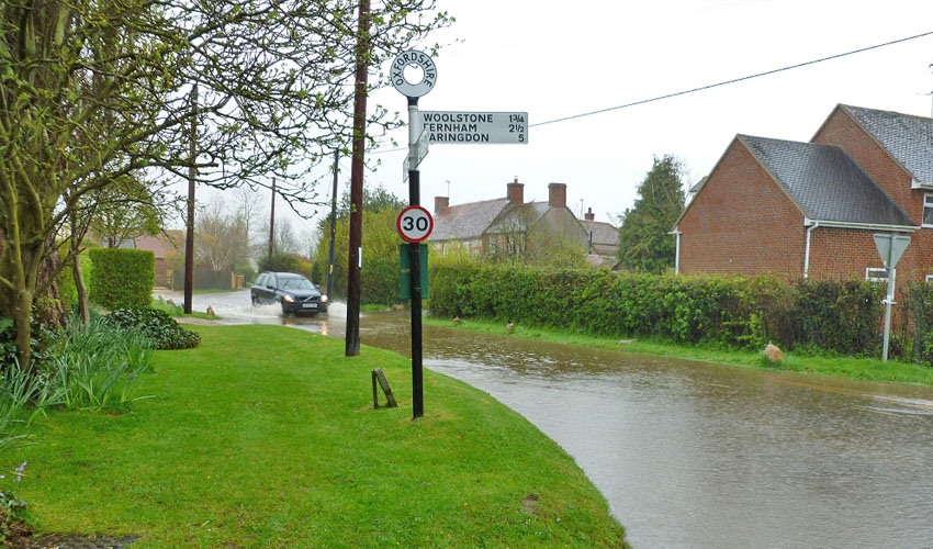
Uffington Parish Council used Parish Online extensively during the creation of their Neighbourhood Plan. Their plan included a record of areas that have historically been affected by flooding.
Challenge
In the process of producing their Neighbourhood Plan, Uffington found it difficult to map out areas where flooding might be an issue. Whilst the Environment Agency map layers available from within Parish Online are useful, these are largely theoretical and do not reflect accurately areas which have been flooded at the detail they needed. They types of flooding experienced vary and the challenge was to bring all the available historical data from inhabitants together to produce a consolidated map showing the areas and types of flooding experienced within Uffington.
Solution
Parish Online allowed Uffington to map out these areas using different marking and colouring for different features such as houses and roads and, using class-based styling, to indicate during which years the flooding had occurred. The original map was complemented by tabular data including photographs in the Historical Flooding summary document.

Benefits
Mike Oldnall, Neighbourhood Planning Steering Team to Uffington Parish Council explains the benefits:
"We use Parish Online to store information about our local area. We can then use this as guidance for many decision-making processes, such as planning applications and our Neighbourhood Plan. As well as this it allows us to use this information to prepare for possible future flooding and to evidence responses to planning applications in areas where flooding has been an issue, but which is not evident from the Environment Agency overlays. I would recommend using Parish Online for uses similar to this as it provides a simple and easy method."
About Uffington Parish Council
The village of Uffington in Oxfordshire lies on the edge of the Vale of the White Horse, just north of the Berkshire Downs and south of the A420 linking Oxford and Swindon. Overlooking the village is the famous White Horse, a marvellous chalk figure which was cut into the hillside an estimated 3000 years ago.
Excluding title header, all pictures sent to us by Uffington Parish Council.
Back to Category
MORE INFORMATION