
Glastonbury uses Parish Online to Take the Guesswork out of Decision Making
Overview
Gerard Tucker, the Glastonbury Town Council Clerk, uses Parish Online for a wide range of purposes. He finds that creating maps in Parish Online helps to communicate ideas quickly and clearly, and this saves time and improves decision-making. Some examples are described below.
Challenge
The management of a town is a complex business which involves many different layers of geographic information such as council boundaries, development boundaries, industrial zoning, local green spaces, and many more. These layers of information are constantly being updated via revisions to various national, regional and neighbourhood plans. The challenge is to be able to extract all the information relevant to a particular issue so that it can be seen and understood.
Solution
Glastonbury uses Parish Online to build a clear picture of all the information relevant to each particular purpose. Gerard Tucker says “Parish Online takes all the guesswork out of decision-making because everybody can clearly see the information which is relevant to each case. A picture is worth a thousand words, and I couldn’t communicate my ideas or explain my decisions nearly so easily without Parish Online”.
Here are a few simple examples:
a) Conservation Areas

The current conservation area (blue polygon) is being extended as shown by the two red extensions to the West. This simple map makes it crystal clear for people submitting planning applications whether or not their plan is in the conservation area (or in the planned extension area)
b) Development Boundary

Glastonbury is planning to extend the current development area (black boundary) to include the two red polygons (which are sites being considered for development in the latest Neighbourhood Plan). The map also shows an industrial site (yellow polygon) inside the development boundary which is being considered for residential development. Gerard says “this simple map allowed me to explain my ideas to the council: without it the implications of the proposals would have been unclear”
c) Mayor’s Sunday Procession

Parish Online was used to make a map of the Mayor’s intended Sunday Procession from St Benedict’s Church back to the Town Hall. This simple map made it clear to the council which roads would need to be shut for the occasion and where signs and supervisors would need to be stationed to manage the event safely. Gerard says “without this simple map at the council meeting I could not properly have explained the implications of the plan in a way which all the councillors could follow”
d) Bittern Trail

The Town Council needed to put signs to guide walkers and cyclists to the Avalon Marshes (The Bittern Trail). Gerard used Parish Online to work out the best sites for these signs (the red points) and then to present the plan to the council. Gerard explains “Once again this was a simple plan, but having the points shown on the map at the council meeting allowed me to justify that the signs were in the right places, and to answer any questions. The ability of everybody to see and question the plan allowed for effective decision-making with the full participation of the whole council”
Benefits
Gerard says that he finds Parish Online a tremendous help in his work as the Town Clerk. “I can prepare plans much more easily than before, and the ability to present clear maps with up-to-date information vastly improves the speed and the quality of decision-making in the council. I must also commend the Parish Online team for their excellent support. They are always very helpful and have never shied away from supporting me in using the system to its full potential. I would thoroughly recommend Parish Online to every Town Council as a way to take the guesswork out of decision making”
About Glastonbury Town Council
Glastonbury has been a place of pilgrimage and spirituality for centuries and attracts visitors of all faiths and none. With its eclectic High Street crowded with independent shops & cafes, picturesque Abbey ruins and, of course, the Tor there is much to do and see in Glastonbury whatever the weather.
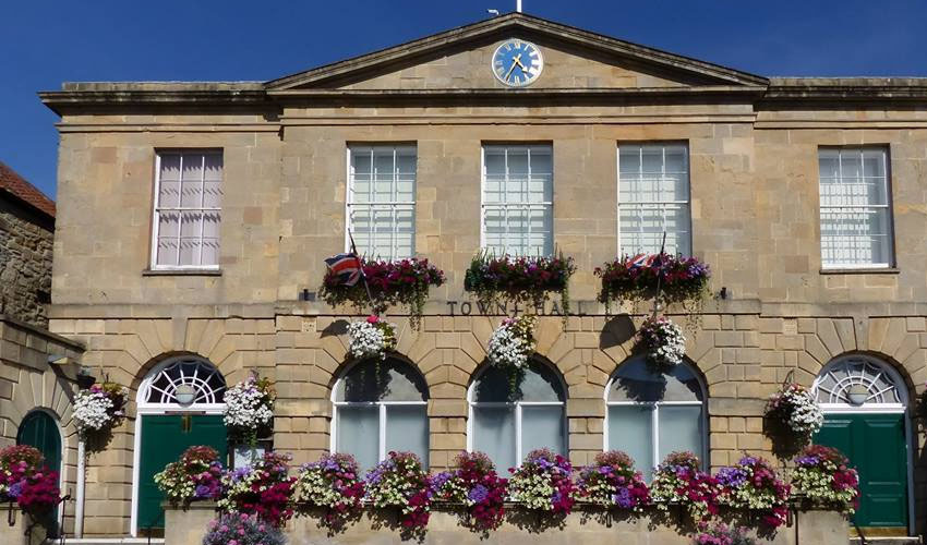
Title picture from Glastonbury Town Council (https://glastonbury.gov.uk/). All other pictures sent to us by Glastonbury Town Council.
Back to Category
MORE INFORMATION