
Aldwick Parish Council uses Parish Online to assess and action public complaints
Overview
Aldwick Parish Council uses Parish Online for rapid assessment of issues reported by the public. For issues such as property damage, they can pinpoint the location and quickly find out whether the property is publicly or privately owned. This saves time, speeds up the remediation process and gives the public quick and accurate feedback.
Challenge
Aldwick Parish Council takes pride in ensuring Aldwick and the surrounding neighbourhoods are clean, desirable and, above all, safe. They occasionally receive reports from members of the public notifying them of issues around the area that could be potential hazards, and it’s the job of the council to assess the situation and take action.
In a recent case, a complaint was made about a broken wall close to a car park. The damaged wall posed a danger to the public so it was critical to take action straight away. However, it was not clear who owned the wall, so Parish Online was used to investigate.
Solution
Using Parish Online, they were able to locate the wall in question. They then used information such as the Ordnance Survey MasterMap base mapping and the HM Land Registry cadastral parcels to identify if the wall was owned by the council.
In this case the wall was not owned by the council, so they identified the owner, a private company, to inform them of the timely issue. The company then quickly repaired the wall and the case was closed.
The member of the public was informed and was grateful for a quick and efficient remediation.

Benefits
Parish Online played a crucial role in this task. Without having access to the wealth of data in the mapping software then it could have taken hours of staff time and possibly even a site visit to assess the issue. Instead it took just minutes. With a clerk having such a finite amount of time in a week to complete their work, these time-saving tools are critical to keep a council running as efficiently and cost-effectively.
“Quite simply, we love Parish Online!
It’s allowed us to use the wide range of map datasets in Parish Online for saving time in all aspects of our work. It’s used on an almost daily basis.
The chief benefit has been in our ability to respond better to queries from the public. It has been useful in helping us determine who owns trees (residents or the district council) when complaints arise.”
Mary Halpin, Deputy Clerk to Aldwick Parish Council
About Aldwick Parish Council
Aldwick has developed organically from the early 1900's from two or three villages of a few cottages starting at Nyewood Lane some 800mtrs west from Bognor Regis Centre and stretching to Sefter Road/Pagham Road [the boundary with Pagham] some two km. further west in an area bounded by the English Channel to the south and the conurbations of Bersted and Bognor West as its northern boundary.
All of the fields that existed have been infilled with estates of housing developments. The housing generally reflects the styles of the time of building. Most of the development took place from the late 50's including the large private estate of Craigweil. New developments can now being seen on the outskirts.
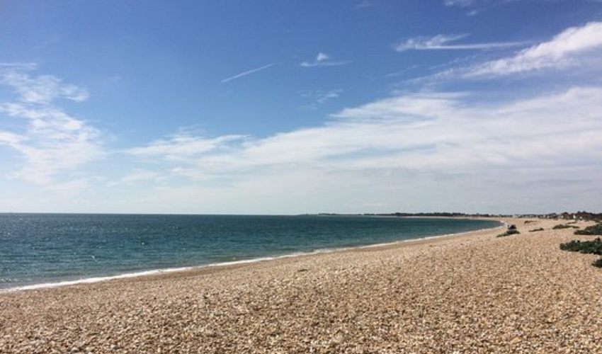
Aldwick has beautiful beaches, parks, cafes, shops, and restaurants. We have parking on the doorstep and a refreshments café right by the beach.
Title header by Greg Speier. All other pictures sent to us by Aldwick Parish Council.
Back to Category
MORE INFORMATION